
Britwell topographic map
Interactive map
Click on the map to display elevation.
About this map
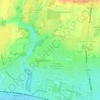
Name: Britwell topographic map, elevation, terrain.
Location: Britwell, Slough, South East, England, United Kingdom (51.53120 -0.64726 51.53891 -0.62129)
Average elevation: 44 m
Minimum elevation: 26 m
Maximum elevation: 67 m