
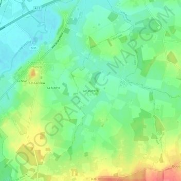
La Foucherie topographic map
Interactive map
Click on the map to display elevation.
About this map
Name: La Foucherie topographic map, elevation, terrain.
Average elevation: 94 m
Minimum elevation: 69 m
Maximum elevation: 137 m
Other topographic maps
Click on a map to view its topography, its elevation and its terrain.
Les Haberderies
France > Pays de la Loire > Sarthe > Le Luart
Les Haberderies, Le Luart, Mamers, Sarthe, Pays de la Loire, France métropolitaine, 72390, France
Average elevation: 106 m