
Thank you for supporting this site ❤️
Make a donation
Make a donation
Jebilat topographic map
Click on the map to display elevation.
Thank you for supporting this site ❤️
Make a donation
Make a donation
About this map
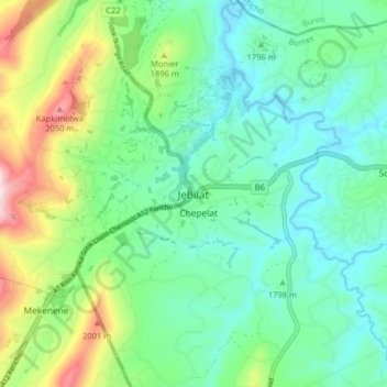
Name: Jebilat topographic map, elevation, terrain.
Location: Jebilat, Sotik, Bomet, Rift Valley, Kenya (-0.73224 35.03267 -0.65224 35.11267)
Average elevation: 1,820 m
Minimum elevation: 1,715 m
Maximum elevation: 2,097 m
Thank you for supporting this site ❤️
Make a donation
Make a donation