
Öster topographic map
Interactive map
Click on the map to display elevation.
About this map
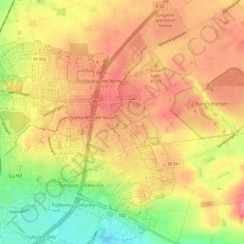
Name: Öster topographic map, elevation, terrain.
Location: Öster, Lund, Lunds kommun, Provinz Schonen, Schweden (55.68787 13.20843 55.74129 13.26341)
Average elevation: 64 m
Minimum elevation: 19 m
Maximum elevation: 93 m