
Thank you for supporting this site ❤️
Make a donation
Make a donation
Centerville topographic map
Click on the map to display elevation.
Thank you for supporting this site ❤️
Make a donation
Make a donation
About this map
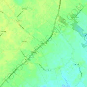
Name: Centerville topographic map, elevation, terrain.
Location: Centerville, Accomack County, Virginia, 23421, United States (37.73735 -75.64104 37.77735 -75.60104)
Average elevation: 10 m
Minimum elevation: -1 m
Maximum elevation: 17 m
Thank you for supporting this site ❤️
Make a donation
Make a donation
Other topographic maps
Click on a map to view its topography, its elevation and its terrain.
Painter
United States > Virginia > Accomack County
It lies at an elevation of 36 feet.
Average elevation: 10 m