
Thank you for supporting this site ❤️
Make a donation
Make a donation
Etna Mountain topographic map
Click on the map to display elevation.
Thank you for supporting this site ❤️
Make a donation
Make a donation
About this map
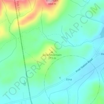
Name: Etna Mountain topographic map, elevation, terrain.
Location: Etna Mountain, Polk County, Georgia, United States (34.01449 -85.40001 34.01459 -85.39991)
Average elevation: 306 m
Minimum elevation: 256 m
Maximum elevation: 452 m
Thank you for supporting this site ❤️
Make a donation
Make a donation