
Thank you for supporting this site ❤️
Make a donation
Make a donation
Grey Eagle topographic map
Click on the map to display elevation.
Thank you for supporting this site ❤️
Make a donation
Make a donation
About this map
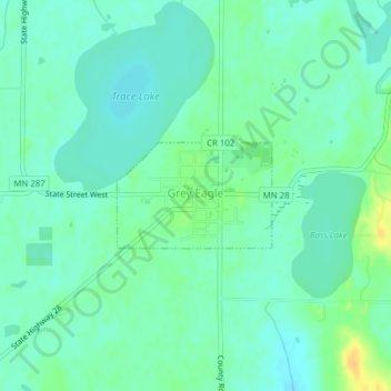
Name: Grey Eagle topographic map, elevation, terrain.
Location: Grey Eagle, Todd County, Minnesota, United States (45.82076 -94.75717 45.82810 -94.74178)
Average elevation: 371 m
Minimum elevation: 362 m
Maximum elevation: 390 m
Thank you for supporting this site ❤️
Make a donation
Make a donation
Other topographic maps
Click on a map to view its topography, its elevation and its terrain.