
Thank you for supporting this site ❤️
Make a donation
Make a donation
banja topographic map
Click on the map to display elevation.
Thank you for supporting this site ❤️
Make a donation
Make a donation
About this map
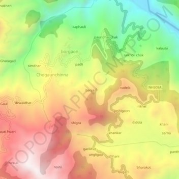
Name: banja topographic map, elevation, terrain.
Location: banja, borgaon, Bageshwar, Uttarakhand, 263630, India (29.76604 79.74765 29.80604 79.78765)
Average elevation: 1,370 m
Minimum elevation: 831 m
Maximum elevation: 1,875 m
Thank you for supporting this site ❤️
Make a donation
Make a donation