
Santa Cruz topographic map
Interactive map
Click on the map to display elevation.
About this map
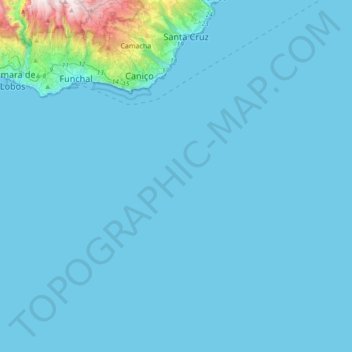
Name: Santa Cruz topographic map, elevation, terrain.
Location: Santa Cruz, Madère, Portugal (32.40375 -16.83493 32.71974 -16.46276)
Average elevation: 77 m
Minimum elevation: 0 m
Maximum elevation: 1,563 m
Other topographic maps
Click on a map to view its topography, its elevation and its terrain.
Santo António da Serra
Santo António da Serra, Santa Cruz, Madère, Portugal
Average elevation: 585 m