
Limites topographic map
Interactive map
Click on the map to display elevation.
About this map
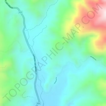
Name: Limites topographic map, elevation, terrain.
Location: Limites, El Playón, Metropolitana, Santander, Colombia (7.57404 -73.24106 7.59404 -73.22106)
Average elevation: 723 m
Minimum elevation: 596 m
Maximum elevation: 1,048 m
Other topographic maps
Click on a map to view its topography, its elevation and its terrain.