
Thank you for supporting this site ❤️
Make a donation
Make a donation
Homestead topographic map
Click on the map to display elevation.
Thank you for supporting this site ❤️
Make a donation
Make a donation
About this map
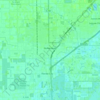
Name: Homestead topographic map, elevation, terrain.
Location: Homestead, Miami-Dade County, Florida, United States (25.44056 -80.50794 25.49960 -80.40377)
Average elevation: 4 m
Minimum elevation: 0 m
Maximum elevation: 8 m
Thank you for supporting this site ❤️
Make a donation
Make a donation