
Pelly Mountains topographic map
Interactive map
Click on the map to display elevation.
About this map
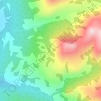
Name: Pelly Mountains topographic map, elevation, terrain.
Location: Pelly Mountains, Yukon, Canada (61.09509 -129.45165 61.09519 -129.45155)
Average elevation: 1,379 m
Minimum elevation: 1,161 m
Maximum elevation: 1,741 m
Other topographic maps
Click on a map to view its topography, its elevation and its terrain.