
Lake Catherine topographic map
Interactive map
Click on the map to display elevation.
About this map
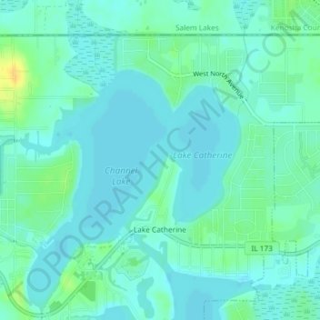
Name: Lake Catherine topographic map, elevation, terrain.
Location: Lake Catherine, Lake County, Illinois, United States (42.47441 -88.13906 42.49563 -88.11144)
Average elevation: 229 m
Minimum elevation: 222 m
Maximum elevation: 247 m