
Thank you for supporting this site ❤️
Make a donation
Make a donation
Lieme topographic map
Click on the map to display elevation.
Thank you for supporting this site ❤️
Make a donation
Make a donation
About this map
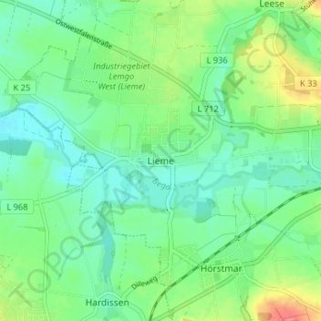
Name: Lieme topographic map, elevation, terrain.
Location: Lieme, Lemgo, Kreis Lippe, Noordrijn-Westfalen, Duitsland (52.00506 8.81587 52.04506 8.85587)
Average elevation: 100 m
Minimum elevation: 80 m
Maximum elevation: 143 m
Thank you for supporting this site ❤️
Make a donation
Make a donation