
Wamego topographic map
Interactive map
Click on the map to display elevation.
About this map
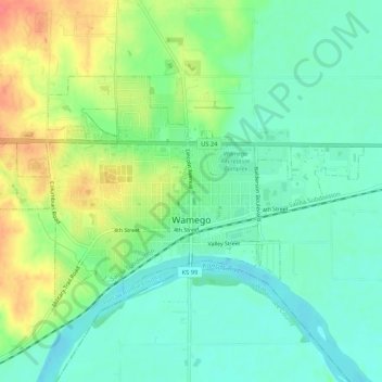
Name: Wamego topographic map, elevation, terrain.
Location: Wamego, Pottawatomie County, Kansas, United States (39.19274 -96.33387 39.21726 -96.28123)
Average elevation: 309 m
Minimum elevation: 288 m
Maximum elevation: 346 m
Other topographic maps
Click on a map to view its topography, its elevation and its terrain.
Saint Marys
United States > Kansas > Pottawatomie County
Saint Marys, Pottawatomie County, Kansas, United States
Average elevation: 302 m