
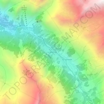
Le Brecholey topographic map
Interactive map
Click on the map to display elevation.
About this map
Name: Le Brecholey topographic map, elevation, terrain.
Average elevation: 2,114 m
Minimum elevation: 1,350 m
Maximum elevation: 3,135 m
Other topographic maps
Click on a map to view its topography, its elevation and its terrain.
Le Plamproz
Suisse > Valais > Entremont > Fionnay
Le Plamproz, Fionnay, Val de Bagnes, Entremont, Valais, 1934, Suisse
Average elevation: 1,913 m