
Thank you for supporting this site ❤️
Make a donation
Make a donation
Badian Island topographic map
Click on the map to display elevation.
Thank you for supporting this site ❤️
Make a donation
Make a donation
About this map
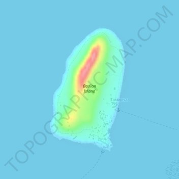
Name: Badian Island topographic map, elevation, terrain.
Location: Badian Island, Zaragosa, Cebu, Central Visayas, Philippines (9.87456 123.37247 9.89314 123.38414)
Average elevation: 7 m
Minimum elevation: 0 m
Maximum elevation: 100 m
Thank you for supporting this site ❤️
Make a donation
Make a donation