
Chatsworth Neighborhood Council District topographic map
Interactive map
Click on the map to display elevation.
About this map
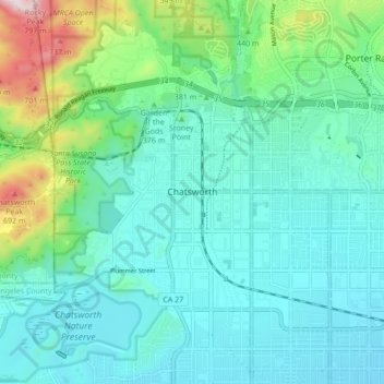
Name: Chatsworth Neighborhood Council District topographic map, elevation, terrain.
Average elevation: 360 m
Minimum elevation: 246 m
Maximum elevation: 818 m
Other topographic maps
Click on a map to view its topography, its elevation and its terrain.
El Escorpion Park
United States > California > Los Angeles County > Los Angeles
Average elevation: 341 m
San Fernando Valley
United States > California > Los Angeles County > Los Angeles
Average elevation: 496 m
Rio de Los Angeles State Park State Recreational Area
United States > California > Los Angeles County > Los Angeles
Average elevation: 141 m