
Manaure topographic map
Interactive map
Click on the map to display elevation.
About this map
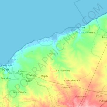
Name: Manaure topographic map, elevation, terrain.
Location: Manaure, La Guajira, Colombia (11.42237 -72.89052 11.82802 -72.25823)
Average elevation: 22 m
Minimum elevation: -6 m
Maximum elevation: 104 m