
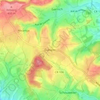
Dahlem topographic map
Interactive map
Click on the map to display elevation.
About this map
Name: Dahlem topographic map, elevation, terrain.
Location: Dahlem, Garnich, Canton Capellen, 8351, Luxembourg (49.57781 5.92618 49.61781 5.96618)
Average elevation: 349 m
Minimum elevation: 299 m
Maximum elevation: 403 m