
Opont topographic map
Interactive map
Click on the map to display elevation.
About this map
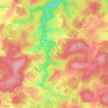
Name: Opont topographic map, elevation, terrain.
Location: Opont, Paliseul, Neufchâteau, Luxemburg, Wallonië, 6852, België (49.92130 5.09820 49.98260 5.16209)
Average elevation: 377 m
Minimum elevation: 274 m
Maximum elevation: 440 m