
Chiché topographic map
Interactive map
Click on the map to display elevation.
About this map
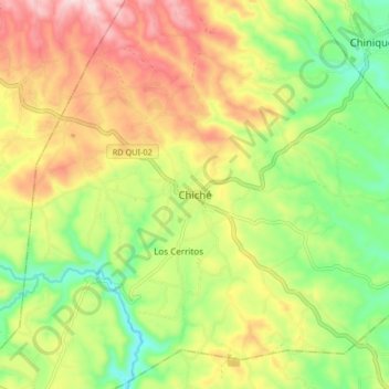
Name: Chiché topographic map, elevation, terrain.
Location: Chiché, Quiché, Guatemala (14.96934 -91.10428 15.04934 -91.02428)
Average elevation: 2,006 m
Minimum elevation: 1,848 m
Maximum elevation: 2,193 m