
Chieti topographic map
Interactive map
Click on the map to display elevation.
About this map
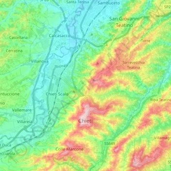
Name: Chieti topographic map, elevation, terrain.
Location: Chieti, Abruzzes, Italie (42.31670 14.07566 42.41948 14.22961)
Average elevation: 114 m
Minimum elevation: 6 m
Maximum elevation: 346 m
Other topographic maps
Click on a map to view its topography, its elevation and its terrain.