
Schönwies topographic map
Interactive map
Click on the map to display elevation.
About this map
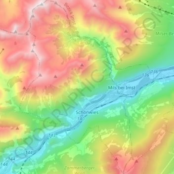
Name: Schönwies topographic map, elevation, terrain.
Location: Schönwies, Bezirk Landeck, 6491, Austria (47.16235 10.59862 47.25091 10.68314)
Average elevation: 1,567 m
Minimum elevation: 720 m
Maximum elevation: 2,777 m
Other topographic maps
Click on a map to view its topography, its elevation and its terrain.