
Nansen Wayside Park topographic map
Interactive map
Click on the map to display elevation.
About this map
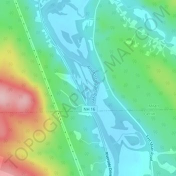
Name: Nansen Wayside Park topographic map, elevation, terrain.
Location: Nansen Wayside Park, Milan, Coös County, New Hampshire, USA (44.53140 -71.16485 44.53150 -71.16475)
Average elevation: 388 m
Minimum elevation: 333 m
Maximum elevation: 528 m