
Thank you for supporting this site ❤️
Make a donation
Make a donation
Fraipont topographic map
Click on the map to display elevation.
Thank you for supporting this site ❤️
Make a donation
Make a donation
About this map
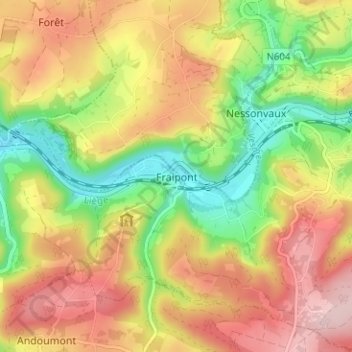
Name: Fraipont topographic map, elevation, terrain.
Location: Fraipont, Trooz, Liège, Wallonia, 4870, Belgium (50.54641 5.70273 50.58641 5.74273)
Average elevation: 206 m
Minimum elevation: 91 m
Maximum elevation: 315 m
Thank you for supporting this site ❤️
Make a donation
Make a donation