
Blumberg topographic map
Interactive map
Click on the map to display elevation.
About this map
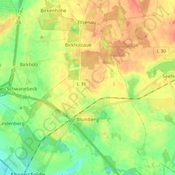
Name: Blumberg topographic map, elevation, terrain.
Location: Blumberg, Ahrensfelde, Barnim, Brandenburg, Deutschland (52.57799 13.57309 52.65433 13.65904)
Average elevation: 75 m
Minimum elevation: 54 m
Maximum elevation: 95 m