
Lete topographic map
Interactive map
Click on the map to display elevation.
About this map
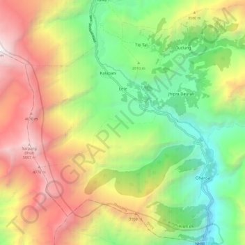
Name: Lete topographic map, elevation, terrain.
Location: Lete, Thasang, मुस्ताङ, गण्डकी प्रदेश, Nepal (28.57196 83.56003 28.67180 83.64967)
Average elevation: 3,255 m
Minimum elevation: 1,815 m
Maximum elevation: 5,181 m