
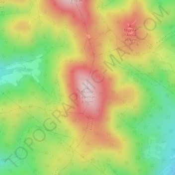
Monte Castellari topographic map
Interactive map
Click on the map to display elevation.
About this map
Name: Monte Castellari topographic map, elevation, terrain.
Location: Monte Castellari, Guardea, Terni, Umbria, 05025, Italia (42.61916 12.34530 42.61926 12.34540)
Average elevation: 629 m
Minimum elevation: 434 m
Maximum elevation: 831 m