
Johnson's Shut-Ins State Park topographic map
Interactive map
Click on the map to display elevation.
About this map
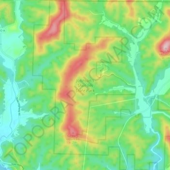
Name: Johnson's Shut-Ins State Park topographic map, elevation, terrain.
Average elevation: 311 m
Minimum elevation: 225 m
Maximum elevation: 479 m