
Saives topographic map
Interactive map
Click on the map to display elevation.
About this map
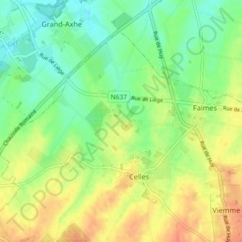
Name: Saives topographic map, elevation, terrain.
Location: Saives, Faimes, Waremme, Liège, Wallonie, 4317, Belgique (50.64303 5.22091 50.68303 5.26091)
Average elevation: 137 m
Minimum elevation: 117 m
Maximum elevation: 160 m
Other topographic maps
Click on a map to view its topography, its elevation and its terrain.