
North Delta topographic map
Interactive map
Click on the map to display elevation.
About this map
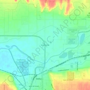
Name: North Delta topographic map, elevation, terrain.
Location: North Delta, Delta County, Colorado, 81416, USA (38.73859 -108.08924 38.77859 -108.04924)
Average elevation: 1,517 m
Minimum elevation: 1,497 m
Maximum elevation: 1,556 m