
Farra topographic map
Interactive map
Click on the map to display elevation.
About this map
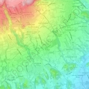
Name: Farra topographic map, elevation, terrain.
Location: Farra, TV, Vénétie, 310147, Italie (45.79405 11.84889 45.83405 11.88889)
Average elevation: 188 m
Minimum elevation: 97 m
Maximum elevation: 350 m