
康苏镇 topographic map
Interactive map
Click on the map to display elevation.
About this map
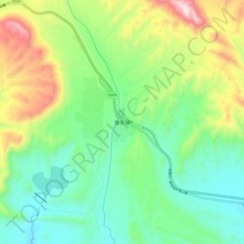
Name: 康苏镇 topographic map, elevation, terrain.
Location: 康苏镇, 乌恰县 ئۇلۇغچات ناھىيىس, 克孜勒苏州, Xinjiang, China (39.68605 74.98552 39.76605 75.06552)
Average elevation: 2,357 m
Minimum elevation: 2,104 m
Maximum elevation: 2,886 m