
Sturgeon topographic map
Interactive map
Click on the map to display elevation.
About this map
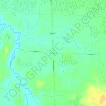
Name: Sturgeon topographic map, elevation, terrain.
Location: Sturgeon, Saint Louis County, Minnesota, USA (47.75659 -92.88879 47.79659 -92.84879)
Average elevation: 396 m
Minimum elevation: 386 m
Maximum elevation: 414 m