
Thank you for supporting this site ❤️
Make a donation
Make a donation
Greystone topographic map
Click on the map to display elevation.
Thank you for supporting this site ❤️
Make a donation
Make a donation
About this map
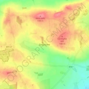
Name: Greystone topographic map, elevation, terrain.
Location: Greystone, Angus, Scotland, DD11 2RJ, United Kingdom (56.55933 -2.77487 56.59933 -2.73487)
Average elevation: 162 m
Minimum elevation: 118 m
Maximum elevation: 198 m
Thank you for supporting this site ❤️
Make a donation
Make a donation