Geolocate

Moremi topographic map

Interactive map

Click on the map to display elevation.

About this map

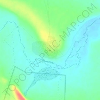
Name: Moremi topographic map, elevation, terrain.

Location: Moremi, Central District, Botswana (-22.59129 27.42785 -22.55129 27.46785)

Average elevation: 875 m

Minimum elevation: 861 m

Maximum elevation: 915 m

Other topographic maps

Click on a map to view its topography, its elevation and its terrain.

Shoshong

Botswana > Central District > Shoshong

Shoshong, Central District, Botswana

Average elevation: 1,115 m

Letlhakane

Botswana > Central District > Letlhakane

Letlhakane, Central District, NULL, Botswana

Average elevation: 990 m