
West Rand Garden estates topographic map
Interactive map
Click on the map to display elevation.
About this map
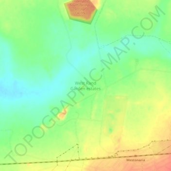
Name: West Rand Garden estates topographic map, elevation, terrain.
Average elevation: 1,564 m
Minimum elevation: 1,541 m
Maximum elevation: 1,592 m