
Tantalus topographic map
Interactive map
Click on the map to display elevation.
About this map
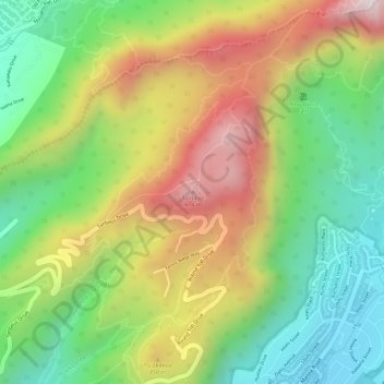
Name: Tantalus topographic map, elevation, terrain.
Location: Tantalus, Honolulu, Honolulu County, Hawaii, 96822, USA (21.33261 -157.81494 21.33271 -157.81484)
Average elevation: 328 m
Minimum elevation: 66 m
Maximum elevation: 635 m
Other topographic maps
Click on a map to view its topography, its elevation and its terrain.