
Wendelstein topographic map
Interactive map
Click on the map to display elevation.
About this map
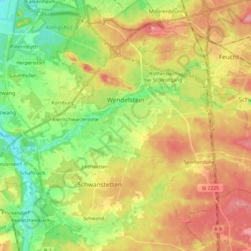
Name: Wendelstein topographic map, elevation, terrain.
Location: Wendelstein, Landkreis Roth, Baviera, 90530, Alemania (49.29777 11.07803 49.39047 11.25184)
Average elevation: 355 m
Minimum elevation: 310 m
Maximum elevation: 403 m