
Kakuto topographic map
Interactive map
Click on the map to display elevation.
About this map
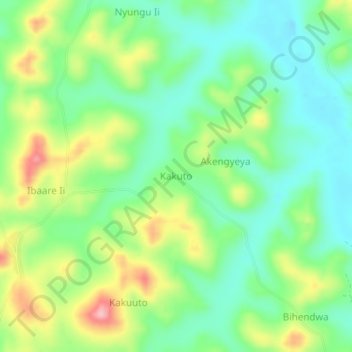
Name: Kakuto topographic map, elevation, terrain.
Location: Kakuto, Kiruhura, West-Region, Uganda (0.01333 30.73000 0.05333 30.77000)
Average elevation: 1,281 m
Minimum elevation: 1,227 m
Maximum elevation: 1,378 m