
Cheongju-si topographic map
Interactive map
Click on the map to display elevation.
About this map
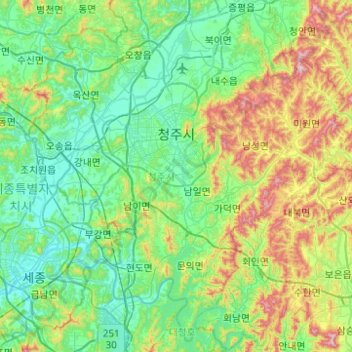
Name: Cheongju-si topographic map, elevation, terrain.
Location: Cheongju-si, North Chungcheong, South Korea (36.40728 127.27560 36.78026 127.77000)
Average elevation: 157 m
Minimum elevation: 8 m
Maximum elevation: 623 m