
Utco topographic map
Interactive map
Click on the map to display elevation.
About this map
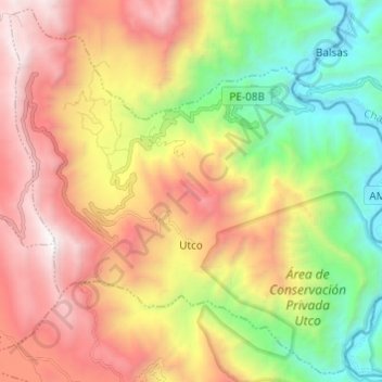
Name: Utco topographic map, elevation, terrain.
Location: Utco, Provincia de Celendín, Cajamarca, Perú (-6.93707 -78.12096 -6.82184 -77.99965)
Average elevation: 2,042 m
Minimum elevation: 830 m
Maximum elevation: 3,431 m