
Thank you for supporting this site ❤️
Make a donation
Make a donation
Azalea topographic map
Click on the map to display elevation.
Thank you for supporting this site ❤️
Make a donation
Make a donation
About this map
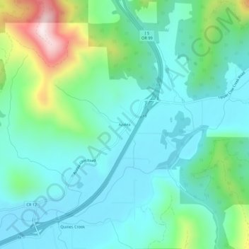
Name: Azalea topographic map, elevation, terrain.
Location: Azalea, Douglas County, Oregon, 97410, United States (42.77540 -123.28034 42.81540 -123.24034)
Average elevation: 604 m
Minimum elevation: 465 m
Maximum elevation: 1,078 m
Thank you for supporting this site ❤️
Make a donation
Make a donation