
Barreiras topographic map
Interactive map
Click on the map to display elevation.
About this map
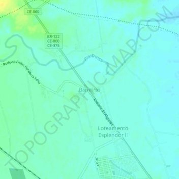
Name: Barreiras topographic map, elevation, terrain.
Average elevation: 214 m
Minimum elevation: 209 m
Maximum elevation: 229 m
Other topographic maps
Click on a map to view its topography, its elevation and its terrain.
Rio Trussu
Rio Trussu, Iguatu, Microrregião de Iguatu, Mesorregião do Centro-Sul Cearense, Ceará, Região Nordeste, Brasil
Average elevation: 221 m