
Thank you for supporting this site ❤️
Make a donation
Make a donation
St. James topographic map
Click on the map to display elevation.
Thank you for supporting this site ❤️
Make a donation
Make a donation
About this map
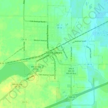
Name: St. James topographic map, elevation, terrain.
Location: St. James, Watonwan County, Minnesota, 56081, United States (43.96674 -94.64615 43.99709 -94.59953)
Average elevation: 328 m
Minimum elevation: 319 m
Maximum elevation: 338 m
Thank you for supporting this site ❤️
Make a donation
Make a donation