
祝桥镇 topographic map
Interactive map
Click on the map to display elevation.
About this map
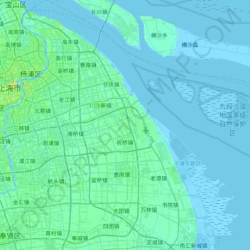
Name: 祝桥镇 topographic map, elevation, terrain.
Location: 祝桥镇, Pudong, China (31.02589 121.71444 31.27857 122.32835)
Average elevation: 3 m
Minimum elevation: -4 m
Maximum elevation: 36 m
Other topographic maps
Click on a map to view its topography, its elevation and its terrain.