
Bichanahalli topographic map
Interactive map
Click on the map to display elevation.
About this map
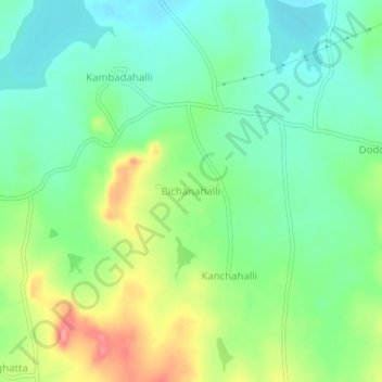
Name: Bichanahalli topographic map, elevation, terrain.
Average elevation: 899 m
Minimum elevation: 865 m
Maximum elevation: 962 m
Other topographic maps
Click on a map to view its topography, its elevation and its terrain.
Haralahalli
India > Karnataka > Nagamangala taluk
Haralahalli, Nagamangala taluk, Mandya District, Karnataka, 571448, India
Average elevation: 846 m