
Dover topographic map
Interactive map
Click on the map to display elevation.
About this map
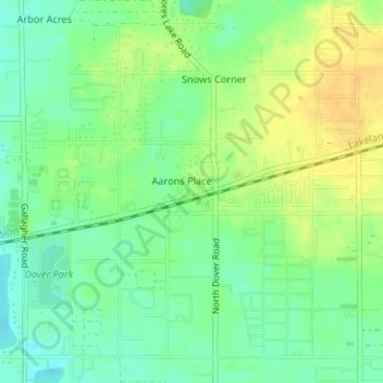
Name: Dover topographic map, elevation, terrain.
Location: Dover, Hillsborough County, Florida, 33527, United States (27.98162 -82.23623 28.00688 -82.20330)
Average elevation: 33 m
Minimum elevation: 19 m
Maximum elevation: 47 m