
Vargas topographic map
Interactive map
Click on the map to display elevation.
About this map
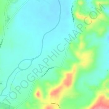
Name: Vargas topographic map, elevation, terrain.
Location: Vargas, San Cayetano, Norte de Santander, Colombia (7.85163 -72.62930 7.87163 -72.60930)
Average elevation: 260 m
Minimum elevation: 230 m
Maximum elevation: 333 m